By John Talberth and Logan Yonavjak
Current use valuation programs can encourage landowners to resist development pressures and leave forest as forest.
Development pressure on the outskirts of cities throughout the southern United States drives up land values and makes it more difficult for private landowners to keep their forestland. On average, in the South, short term returns for development can be $36,000 per acre. And for private landowners who want to keep their forest, rising property taxes can also provide a perverse incentive, because as the fair market value of the land increases, property tax bills rise. To help pay these increased taxes many landowners often resort to selling at least a portion of their lands despite their intention to keep their forests intact.
 As a result of rapid development over the last 40 years, the vast majority of land in the southern U.S. has been in some way impacted by humans. Today, only a small amount of land remains in a relatively natural, or “wild”, state.
 The World Resources Institute and our partners working on forestry issues in your state are eager to hear from you on a number of important issues related to management of small family woodlands. We recently launched an online survey for Southern woodland owners about issues related to management of small family forests.
 Public support remains high for land conservation, even in the challenging state of today’s economy. However, since it is becoming increasingly difficult to add conservation expenses to public budgets, states, counties and municipalities can benefit from creating “working forests” that save and even make them money.
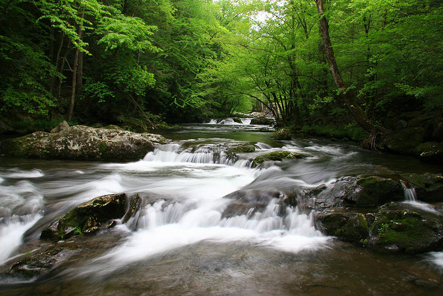 Investments in forest conservation can save money on providing clean water.
 Stretching more than